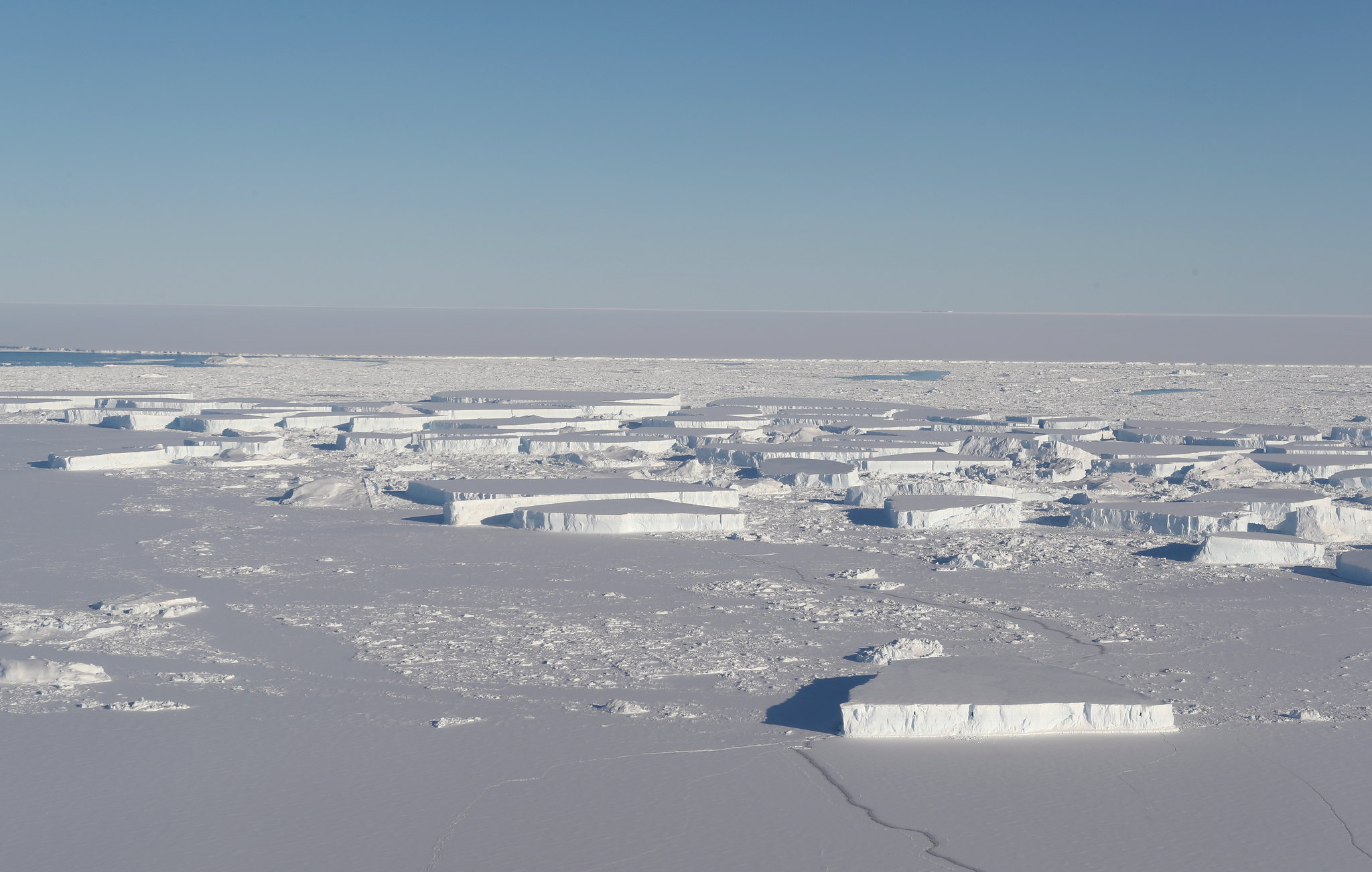
Image: Large tabular icebergs located between Antarctica’s Larsen C ice shelf and the A-68 ice island, which calved off of the Larsen C last year, as seen on a NASA Operation IceBridge mission on Oct. 16, 2018. (Image by NASA/Jefferson Beck, available under Public License)
Over the last years, CryoSat-2 has provided several products, such as pan-Arctic sea ice thickness maps, dynamic topography and geostrophic currents, but similar products covering Antarctica have had a lower level of maturity since specific challenges in the processing of the radar signal result from the complex surface characteristics of Southern Hemisphere’s sea ice and ocean fields.
The CryoSat+ Antarctica Ocean project addressed these issues by developing new approaches and algorithms to be implemented in ESA’s CryoSat-2 ground segment processor. With these improvements, the processor produced state of the artsea ice and ocean products (validated by airborne and in-situ measurements) to enhance the understanding of the Antarctic climate system and ocean circulation.
isardSAT has participated in the Along Track product development and validation, and in the gridded product development and validation. isardSAT has also developed two lead detection methods, one using Fully-Focussed processing and the other using SARIn interferometry, as well as two retracker methods, one for sea ice and the other for ocean retrievals.
Go to site